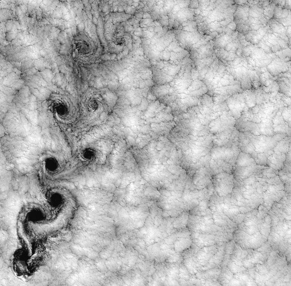
Fallstreak Clouds
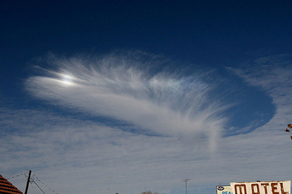
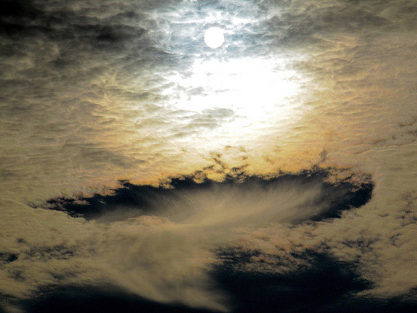
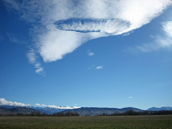
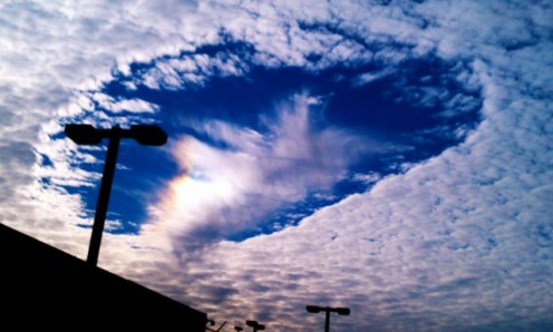
it also known as hole-punch clouds.
What Are Fallstreak Holes?
A fallstreak hole is a glaciating supercooled cloud that is formed from ice crystals falling through a supercooled layer of cloud. It is a rare occurrence.
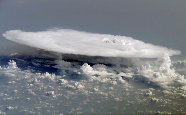
Mushroom Clouds
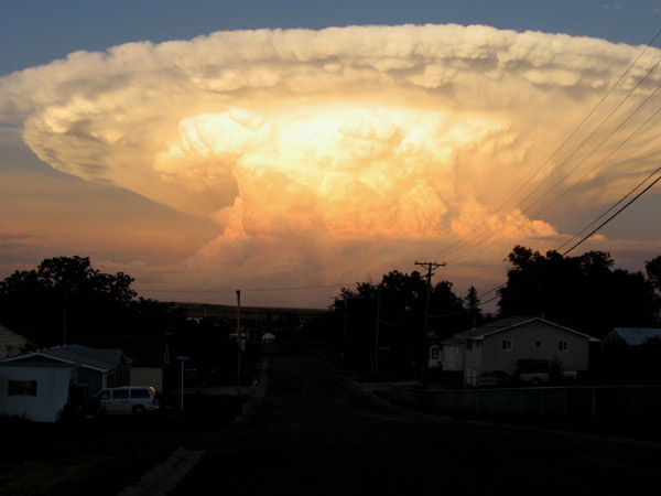
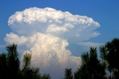
A mushroom cloud is a distinctive mushroom-shaped cloud of smoke, condensed water vapor, or debris resulting from a very large explosion. They are most commonly associated with nuclear explosions, but any sufficiently large blast will produce the same sort of effect.
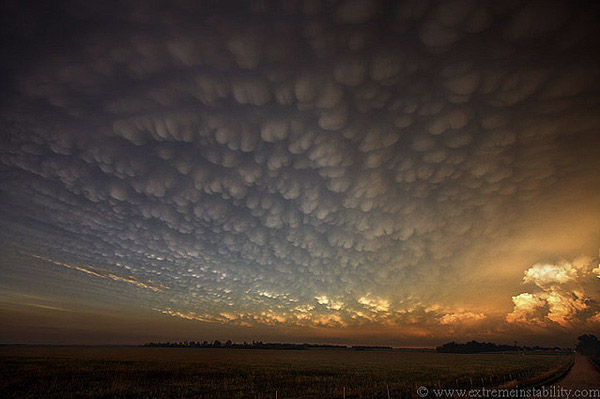
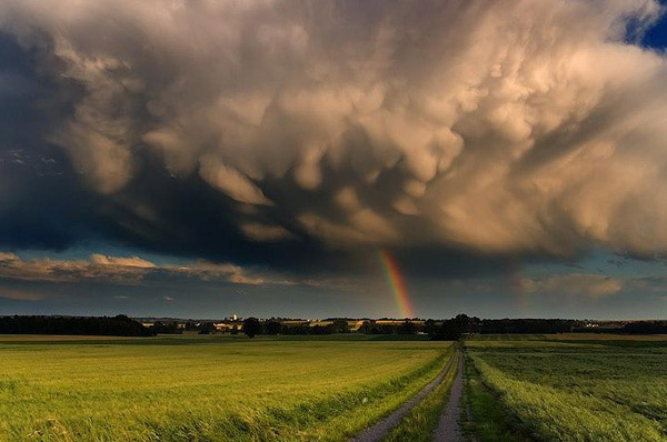
Mammatus Clouds
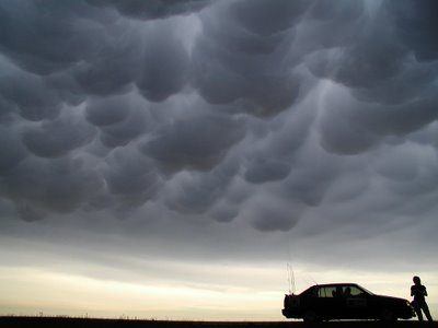
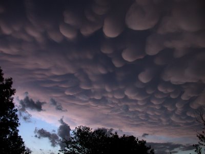
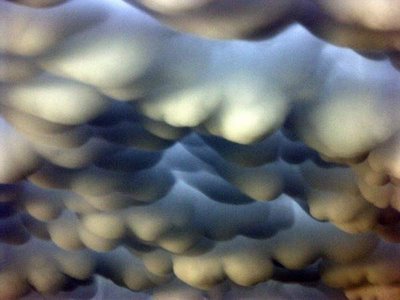
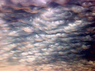
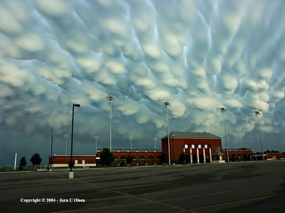
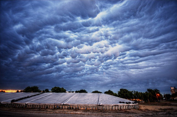
Mammatus Clouds are pouch-like cloud structures and a rare example of clouds in sinking air
Sometimes very ominous in appearance, mammatus clouds are harmless and do not mean that a tornado is about to form – a commonly held misconception. In fact, mammatus are usually seen after the worst of a thunderstorm has passed
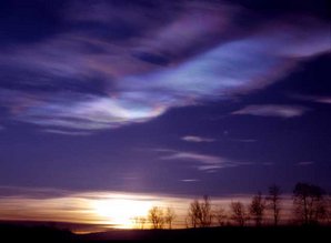
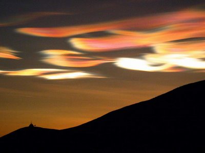
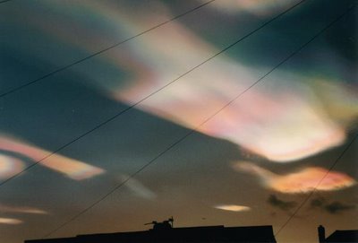
Noctilucent Clouds
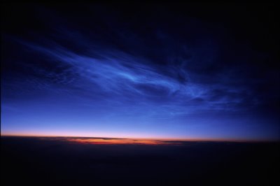
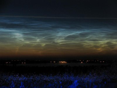
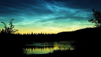
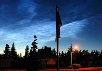
Noctilucent Clouds or Polar Mesopheric Clouds: This is an extroadinarily rare cloud formation that occurs out on the verge of space between 82km to 102 km from the earth’s surface.
Noctilucent clouds appear to be luminous yet they reflect the sunlight from the other side of the earth at night, giving them a glowing appearance
Cirrus Kelvin-Helmholtz
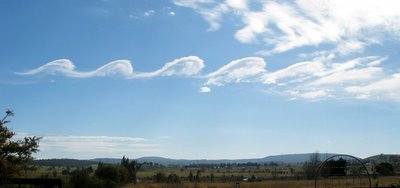
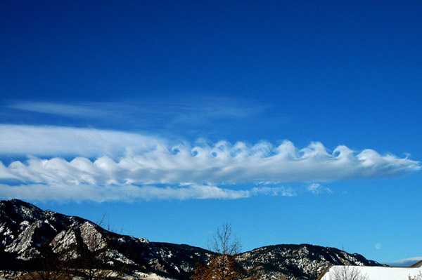
Appearing as a slender, horizontal spiral of cloud, cirrus Kelvin-Helmholtz is one of the most distinctive cloud formations. However, it tends to dissipate only a minute or two after forming and, as a result, is rarely observed.Average height is around 16,500 ft.
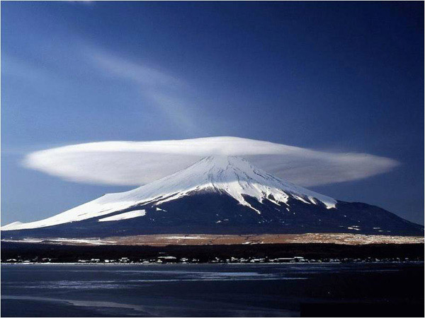
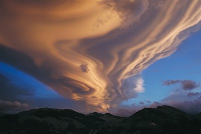
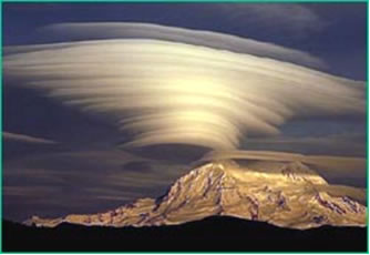
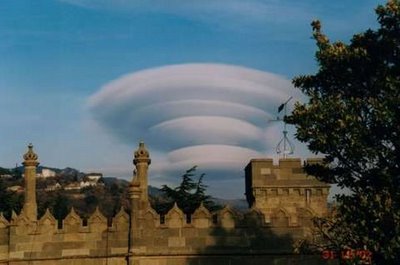
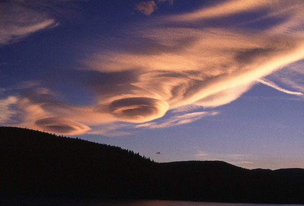
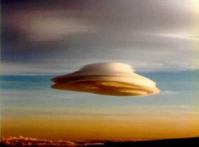
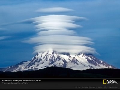
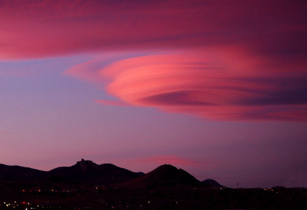
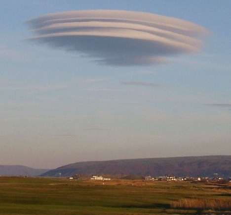
Lenticular Clouds
Lenticular Clouds, technically known as altocumulus standing lenticularis, are stationary lens-shaped clouds that form at high altitudes, normally aligned at right-angles to the wind direction.
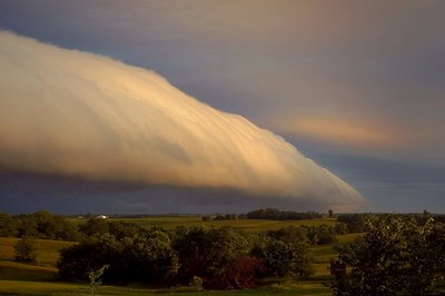
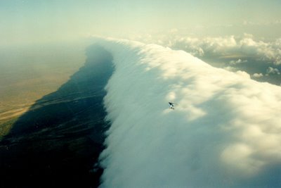
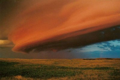
Roll Clouds
A roll cloud is a low, horizontal tube-shaped arcus cloud associated with a thunderstorm gust front, or sometimes a cold front. Roll clouds can also be a sign of possible microburst activity.
Cool air sinking air from a storm cloud’s downdraft spreads out across the surface with the leading edge called a gust front. This outflow undercuts warm air being drawn into the storm’s updraft. As the cool air lifts the warm moist air water condenses creating cloud, which often rolls with the different winds above and below (wind shear)
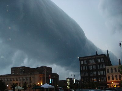
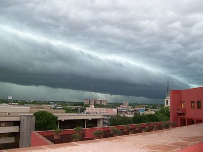
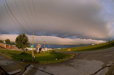

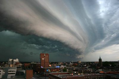
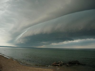
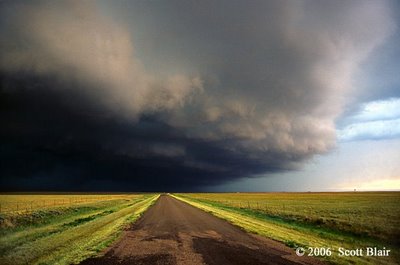
Shelf Clouds
A shelf cloud is a low, horizontal wedge-shaped arcus cloud, associated with a thunderstorm gust front (or occasionally with a cold front, even in the absence of thunderstorms)
Unlike a roll cloud, a shelf cloud is attached to the base of the parent cloud above it (usually a thunderstorm).
Rising cloud motion often can be seen in the leading (outer) part of the shelf cloud, while the underside often appears turbulent, boiling, and wind-torn.
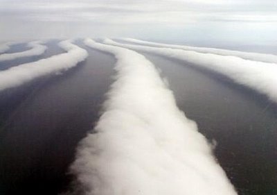
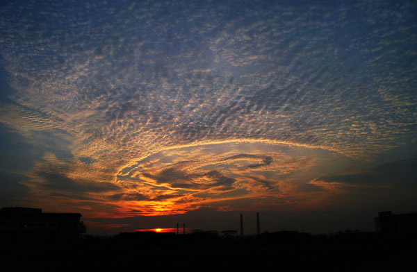
Stratocumulus Clouds
According to the Sapporo Meteorological Observatory, these low-altitude stratocumulus clouds were rolled into long, distinctive ribbons after becoming trapped in air currents.While it is not uncommon for wind to form such patterns in stratocumulus clouds, photos that clearly show the clouds rolled into strips are rare, says the observatory.
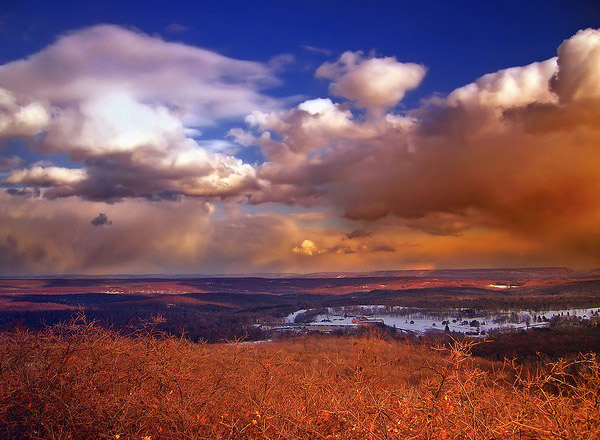
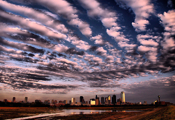
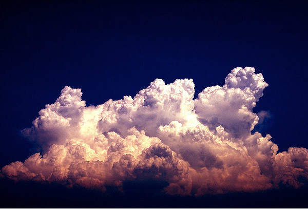
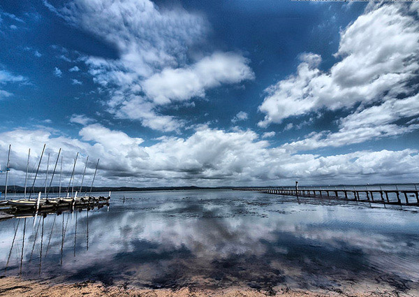
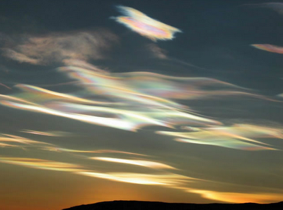
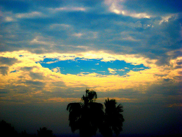
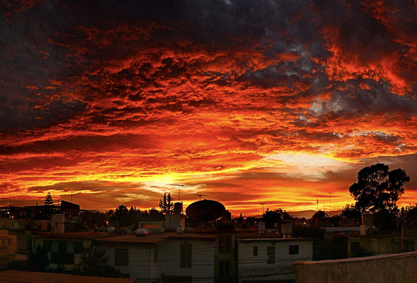
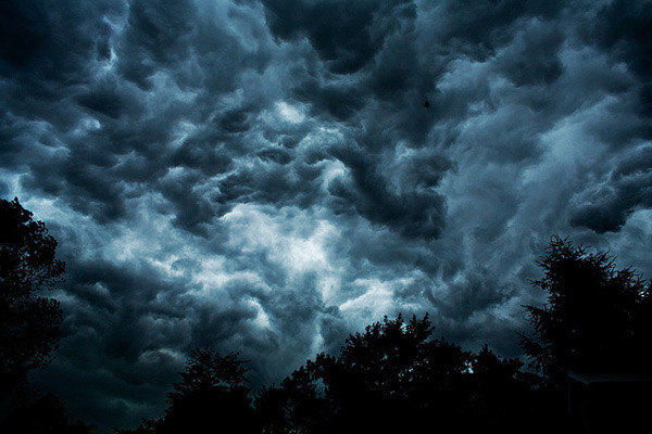
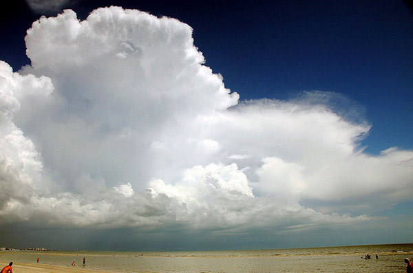
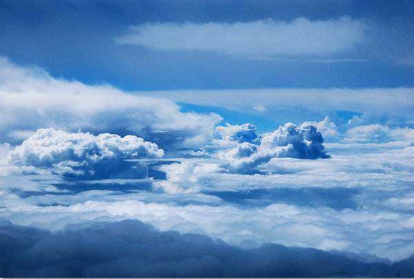
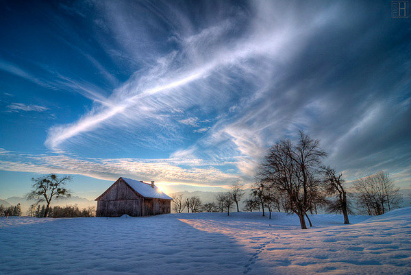
some other beautiful photos of clouds


sources–http://goo.gl/Bxwlg , http://goo.gl/Ktex , http://goo.gl/gWftm, http://goo.gl/5e0F9, http://goo.gl/pYaNo